… Africa, UNO, United StatesNigeria, 163 countries to back UN resolution for larger Africa on world map
Nigeria has joined 163 other countries to endorse an African-led UN resolution seeking fairer world maps that accurately reflect Africa’s true geographical size.
The UN General Assembly adopted the historic “Correct the Map” resolution by 164 votes to one, with six abstentions.
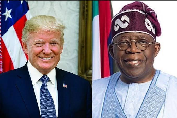
The United States cast the sole opposing vote, while Estonia, Georgia, Lithuania, Moldova, Serbia and Ukraine abstained.
The resolution is formally titled “Correct the Map: Rebalancing global cartographic representation and promoting equitable representation of the world’s regions, particularly Africa.”
The African Union-backed campaign challenged centuries of cartographic representation that makes African continent appear disproportionately small.
Africa covers approximately 30 million square kilometres and is the world’s second-largest continent by both land area and population.
However, advocates say conventional Mercator maps have historically presented the continent visually as considerably less imposing than its actual dimensions.
The vote enjoyed an overwhelming majority of UN members endorsing the continent’s demand for more accurate global geographical representation.
Togo led negotiations on behalf of the African Group, building on an AU-supported initiative that Africa needs to stop being represented as smaller than it actually is.
Togolese Foreign Minister Robert Dussey told the UN General Assembly that maps were not merely technical illustrations but powerful instruments influencing how people understand the world.
“Maps shape our understanding of the world. They guide education, nourish the imagination and influence collective perceptions,” Dussey said.
The resolution promotes wider use of the Equal Earth projection and other equal-area maps where accurate comparison of the relative sizes of continents and countries is important.
It describes the consequences as contributing to the “symbolic minimisation” of Africa and other regions in the global collective imagination.
“A fair map does not change the geography of the world, it changes how we see the world,” said adding, “a fair world begins with a fair map.”
The Equal Earth projection, developed in 2018, seeks to preserve the relative area of countries and continents, thereby presenting Africa much closer to its actual scale.
Unlike Mercator, equal-area projections do not enlarge Africa; rather, they remove the artificial enlargement given to territories nearer the poles.
The United States strongly rejected the initiative, arguing that the General Assembly should focus on more pressing global challenges.
France, however, supported the resolution, announcing plans to move away from Mercator in its official world maps.
This would also make France, the United States, Russia and other northern countries appear smaller relative to equatorial countries than on familiar Mercator maps.